York Rd, Dorchester
Introduction
The photograph on this page of York Rd, Dorchester by Nigel Mykura as part of the Geograph project.
The Geograph project started in 2005 with the aim of publishing, organising and preserving representative images for every square kilometre of Great Britain, Ireland and the Isle of Man.

There are currently over 7.5m images from over 14,400 individuals and you can help contribute to the project by visiting https://www.geograph.org.uk
York Rd, Dorchester
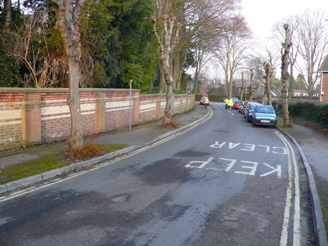
Image: © Nigel Mykura Taken: 26 Jan 2010
York Rd is a short road connecting Culliford Rd north with Prince of Wales rd. This is the view east towards Culliford Road North. Formerly some very big Victorian houses were built here but some have been demolished over the years and been replaced with higher density housing.
Images are licensed for reuse under creativecommons.org/licenses/by-sa/2.0
Image Location
Latitude
50.710899
Longitude
-2.432626