Trig point on Roskruge Beacon
Introduction
The photograph on this page of Trig point on Roskruge Beacon by Rod Allday as part of the Geograph project.
The Geograph project started in 2005 with the aim of publishing, organising and preserving representative images for every square kilometre of Great Britain, Ireland and the Isle of Man.

There are currently over 7.5m images from over 14,400 individuals and you can help contribute to the project by visiting https://www.geograph.org.uk
Trig point on Roskruge Beacon
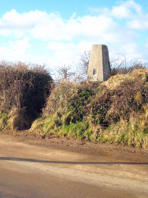
Image: © Rod Allday Taken: 23 Jan 2010
At 113 metres, the highest point on this part of the Lizard peninsula.
Images are licensed for reuse under creativecommons.org/licenses/by-sa/2.0
Image Location
Latitude
50.066529
Longitude
-5.103877