Corner of Old Hall Street, Wolverhampton
Introduction
The photograph on this page of Corner of Old Hall Street, Wolverhampton by Roger D Kidd as part of the Geograph project.
The Geograph project started in 2005 with the aim of publishing, organising and preserving representative images for every square kilometre of Great Britain, Ireland and the Isle of Man.

There are currently over 7.5m images from over 14,400 individuals and you can help contribute to the project by visiting https://www.geograph.org.uk
Corner of Old Hall Street, Wolverhampton
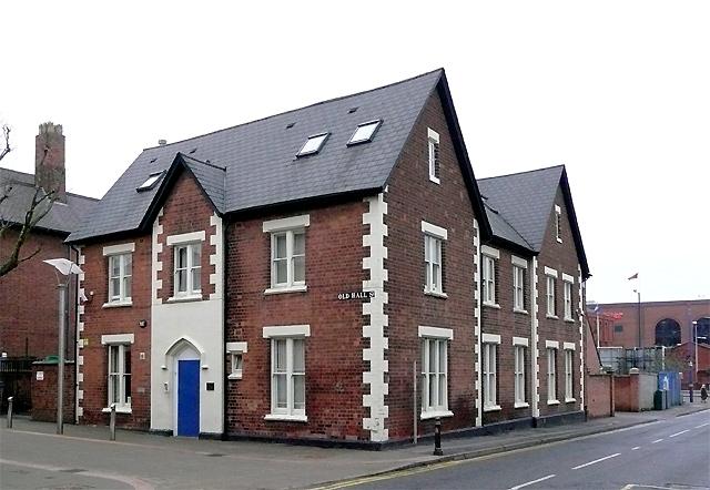
Image: © Roger D Kidd Taken: 25 Jan 2010
This is at the junction with George's Parade, named after the adjacent former church (now assimilated into Sainsbury's store). Image] During the smartening-up of Old Hall Street in the early 2000s, many of the old buildings were refurbished and are used for business purposes. Much of the street is occupied by the Wolverhampton Adult Education Service and includes their cafe, also open to the public.
Images are licensed for reuse under creativecommons.org/licenses/by-sa/2.0
Image Location
Latitude
52.583398
Longitude
-2.123709