Public footpath/track to Great Broughton
Introduction
The photograph on this page of Public footpath/track to Great Broughton by Philip Barker as part of the Geograph project.
The Geograph project started in 2005 with the aim of publishing, organising and preserving representative images for every square kilometre of Great Britain, Ireland and the Isle of Man.

There are currently over 7.5m images from over 14,400 individuals and you can help contribute to the project by visiting https://www.geograph.org.uk
Public footpath/track to Great Broughton
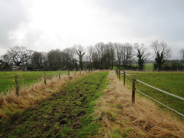
Image: © Philip Barker Taken: 24 Jan 2010
This photograph shows a view of the public footpath that goes between the villages of Kirkby and Great Broughton. The footpath runs roughly parallel to the minor road that also connects the two villages and joins the road near Great Broughton. This picture was taken looking in an east-north-easterly direction towards Great Broughton.
Images are licensed for reuse under creativecommons.org/licenses/by-sa/2.0
Image Location
Latitude
54.445628
Longitude
-1.166796