Pond in Middle Shaw
Introduction
The photograph on this page of Pond in Middle Shaw by David Anstiss as part of the Geograph project.
The Geograph project started in 2005 with the aim of publishing, organising and preserving representative images for every square kilometre of Great Britain, Ireland and the Isle of Man.

There are currently over 7.5m images from over 14,400 individuals and you can help contribute to the project by visiting https://www.geograph.org.uk
Pond in Middle Shaw
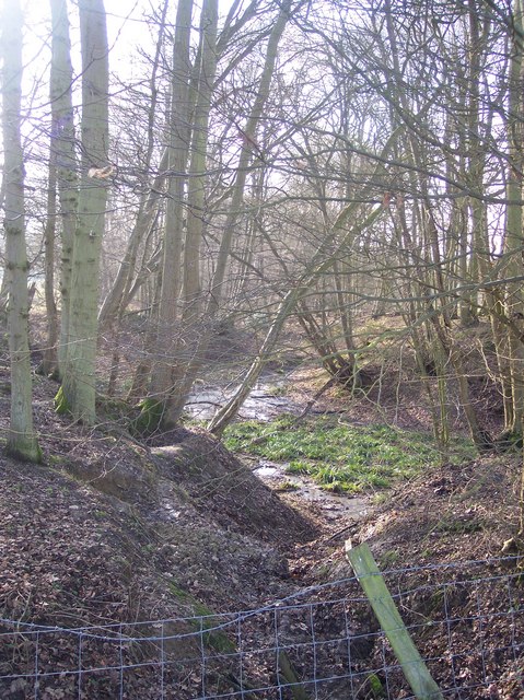
Image: © David Anstiss Taken: 24 Jan 2010
A pond leads to a stream running through this thin woodland towards Wayhill Shaw and then onto Silver Wood. Seen from a footpath from the A28 Ashford Road towards Plurenden Manor.
Images are licensed for reuse under creativecommons.org/licenses/by-sa/2.0
Image Location
Latitude
51.107059
Longitude
0.733877