Road junction, Knockholt Pound, Kent
Introduction
The photograph on this page of Road junction, Knockholt Pound, Kent by Dr Neil Clifton as part of the Geograph project.
The Geograph project started in 2005 with the aim of publishing, organising and preserving representative images for every square kilometre of Great Britain, Ireland and the Isle of Man.

There are currently over 7.5m images from over 14,400 individuals and you can help contribute to the project by visiting https://www.geograph.org.uk
Road junction, Knockholt Pound, Kent
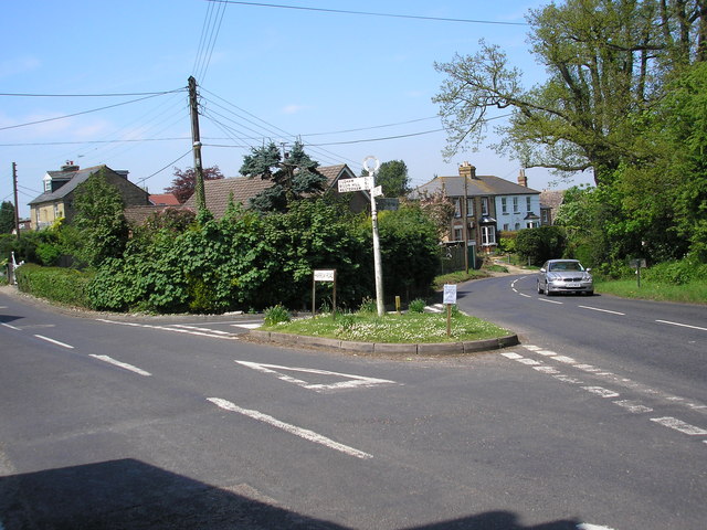
Image: © Dr Neil Clifton Taken: 11 May 2006
Knockholt Pound and its near neighbour Knockholt are not on the M.o.T A and B road network, but are served by a tangle of minor roads and lanes. In this photograph, taken from the steps of the Harrow public house, the fork to the right leads to Pratt's Bottom and Chelsfield, while the left-hand road goes to Biggin Hill and Westerham
Images are licensed for reuse under creativecommons.org/licenses/by-sa/2.0
Image Location
Latitude
51.315289
Longitude
0.126563