Mansfield Woodhouse Golf Course
Introduction
The photograph on this page of Mansfield Woodhouse Golf Course by Ann B as part of the Geograph project.
The Geograph project started in 2005 with the aim of publishing, organising and preserving representative images for every square kilometre of Great Britain, Ireland and the Isle of Man.

There are currently over 7.5m images from over 14,400 individuals and you can help contribute to the project by visiting https://www.geograph.org.uk
Mansfield Woodhouse Golf Course
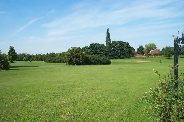
Image: © Ann B Taken: 7 Jun 2005
View of the Golf Course taken from the car park at the side of the A60 road, Leeming Lane North.
Images are licensed for reuse under creativecommons.org/licenses/by-sa/2.0
Image Location


Leaflet Map data © OpenStreetMap
Latitude
53.174723
Longitude
-1.17112