Crooks Beck
Introduction
The photograph on this page of Crooks Beck by David McMumm as part of the Geograph project.
The Geograph project started in 2005 with the aim of publishing, organising and preserving representative images for every square kilometre of Great Britain, Ireland and the Isle of Man.

There are currently over 7.5m images from over 14,400 individuals and you can help contribute to the project by visiting https://www.geograph.org.uk
Crooks Beck
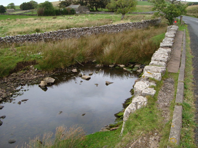
Image: © David McMumm Taken: 2 Oct 2009
Crooks Beck as it flows out from under the A683.
Images are licensed for reuse under creativecommons.org/licenses/by-sa/2.0
Image Location
Latitude
54.419529
Longitude
-2.399101