Snowy pastures near Lonkley Head (2)
Introduction
The photograph on this page of Snowy pastures near Lonkley Head (2) by Mike Quinn as part of the Geograph project.
The Geograph project started in 2005 with the aim of publishing, organising and preserving representative images for every square kilometre of Great Britain, Ireland and the Isle of Man.

There are currently over 7.5m images from over 14,400 individuals and you can help contribute to the project by visiting https://www.geograph.org.uk
Snowy pastures near Lonkley Head (2)
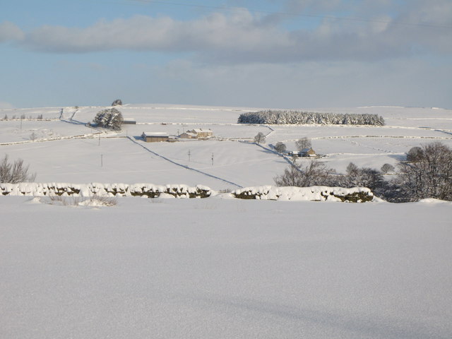
Image: © Mike Quinn Taken: 6 Jan 2010
Looking across the valleys of Shield Burn and Philip Burn towards Image
Images are licensed for reuse under creativecommons.org/licenses/by-sa/2.0
Image Location
Latitude
54.89686
Longitude
-2.246951