Boundary Park - The "Chaddie End"
Introduction
The photograph on this page of Boundary Park - The "Chaddie End" by Peter Whatley as part of the Geograph project.
The Geograph project started in 2005 with the aim of publishing, organising and preserving representative images for every square kilometre of Great Britain, Ireland and the Isle of Man.

There are currently over 7.5m images from over 14,400 individuals and you can help contribute to the project by visiting https://www.geograph.org.uk
Boundary Park - The "Chaddie End"
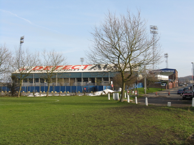
Image: © Peter Whatley Taken: 21 Jan 2010
Oldham's own "theatre of dreams" (or nightmares if you've followed the Latics for long enough). The foreground stand is that traditionally reserved for die-hard home supporters: the Chadderton End.
Images are licensed for reuse under creativecommons.org/licenses/by-sa/2.0
Image Location


Leaflet Map data © OpenStreetMap
Latitude
53.555145
Longitude
-2.129625