Bilton Road, Rugby
Introduction
The photograph on this page of Bilton Road, Rugby by Stephen McKay as part of the Geograph project.
The Geograph project started in 2005 with the aim of publishing, organising and preserving representative images for every square kilometre of Great Britain, Ireland and the Isle of Man.

There are currently over 7.5m images from over 14,400 individuals and you can help contribute to the project by visiting https://www.geograph.org.uk
Bilton Road, Rugby
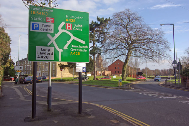
Image: © Stephen McKay Taken: 24 Jan 2010
Showing the junction between Bilton Road and Russelsheim Way, part of Rugby's 'gyratory' traffic system. The large road sign is new, part of a Warwickshire County Council scheme to give central Rugby better signage.
Images are licensed for reuse under creativecommons.org/licenses/by-sa/2.0
Image Location
Latitude
52.369969
Longitude
-1.267926