Boveridge, arable land
Introduction
The photograph on this page of Boveridge, arable land by Mike Faherty as part of the Geograph project.
The Geograph project started in 2005 with the aim of publishing, organising and preserving representative images for every square kilometre of Great Britain, Ireland and the Isle of Man.

There are currently over 7.5m images from over 14,400 individuals and you can help contribute to the project by visiting https://www.geograph.org.uk
Boveridge, arable land
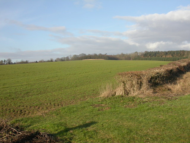
Image: © Mike Faherty Taken: 24 Jan 2010
Looking North from the footpath to Boveridge Farm; Stone Hill Wood in the distance, with uncut maize to its South, left for bird cover.
Images are licensed for reuse under creativecommons.org/licenses/by-sa/2.0
Image Location
Latitude
50.93666
Longitude
-1.909295