High Street, Forres
Introduction
The photograph on this page of High Street, Forres by John Allan as part of the Geograph project.
The Geograph project started in 2005 with the aim of publishing, organising and preserving representative images for every square kilometre of Great Britain, Ireland and the Isle of Man.

There are currently over 7.5m images from over 14,400 individuals and you can help contribute to the project by visiting https://www.geograph.org.uk
High Street, Forres
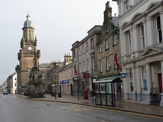
Image: © John Allan Taken: 24 Jan 2010
This was part of the main route between Inverness and Aberdeen until Forres was bypassed in the 1980s. The tower is the Tolbooth, built in 1838.
Images are licensed for reuse under creativecommons.org/licenses/by-sa/2.0
Image Location
Latitude
57.610143
Longitude
-3.612742