Forres East signal box
Introduction
The photograph on this page of Forres East signal box by John Allan as part of the Geograph project.
The Geograph project started in 2005 with the aim of publishing, organising and preserving representative images for every square kilometre of Great Britain, Ireland and the Isle of Man.

There are currently over 7.5m images from over 14,400 individuals and you can help contribute to the project by visiting https://www.geograph.org.uk
Forres East signal box
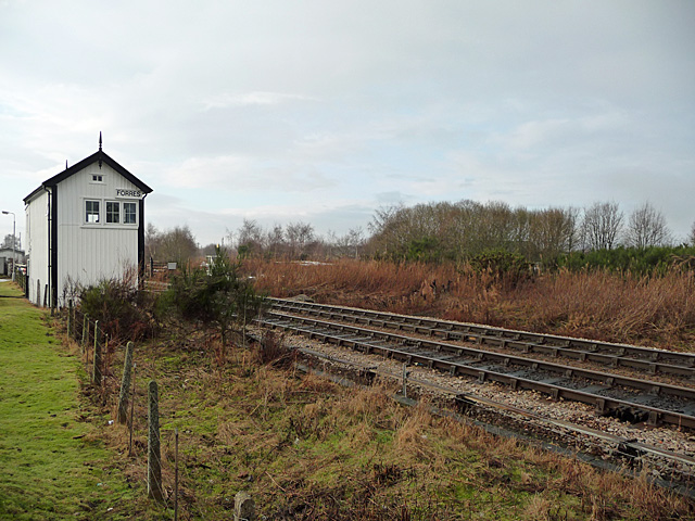
Image: © John Allan Taken: 24 Jan 2010
More than 100 years old and still active.
Images are licensed for reuse under creativecommons.org/licenses/by-sa/2.0
Image Location
Latitude
57.611747
Longitude
-3.620848