Tower of Lower Broadheath Church
Introduction
The photograph on this page of Tower of Lower Broadheath Church by Philip Halling as part of the Geograph project.
The Geograph project started in 2005 with the aim of publishing, organising and preserving representative images for every square kilometre of Great Britain, Ireland and the Isle of Man.

There are currently over 7.5m images from over 14,400 individuals and you can help contribute to the project by visiting https://www.geograph.org.uk
Tower of Lower Broadheath Church
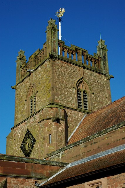
Image: © Philip Halling Taken: 24 Jan 2010
Christ Church in Lower Broadheath dates from 1903-4 and is by C. Ford Whitcombe. For a church in a land-locked county the tower has an interesting weather vane.
Images are licensed for reuse under creativecommons.org/licenses/by-sa/2.0
Image Location
Latitude
52.213138
Longitude
-2.278326