Boulsbury, farm buildings
Introduction
The photograph on this page of Boulsbury, farm buildings by Mike Faherty as part of the Geograph project.
The Geograph project started in 2005 with the aim of publishing, organising and preserving representative images for every square kilometre of Great Britain, Ireland and the Isle of Man.

There are currently over 7.5m images from over 14,400 individuals and you can help contribute to the project by visiting https://www.geograph.org.uk
Boulsbury, farm buildings
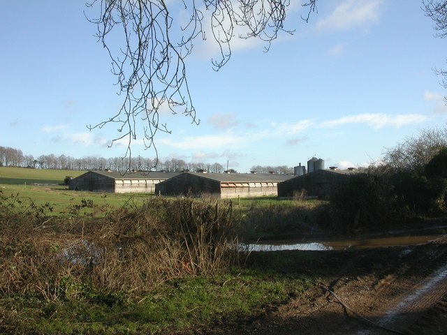
Image: © Mike Faherty Taken: 24 Jan 2010
To the North of the bridleway from the Cranborne-Martin road to near Boulsbury Cottages; these buildings sound very quiet compared with those to the South, so perhaps they are not currently used.
Images are licensed for reuse under creativecommons.org/licenses/by-sa/2.0
Image Location
Latitude
50.950217
Longitude
-1.884072