Kingsash - Cottage
Introduction
The photograph on this page of Kingsash - Cottage by Rob Farrow as part of the Geograph project.
The Geograph project started in 2005 with the aim of publishing, organising and preserving representative images for every square kilometre of Great Britain, Ireland and the Isle of Man.

There are currently over 7.5m images from over 14,400 individuals and you can help contribute to the project by visiting https://www.geograph.org.uk
Kingsash - Cottage
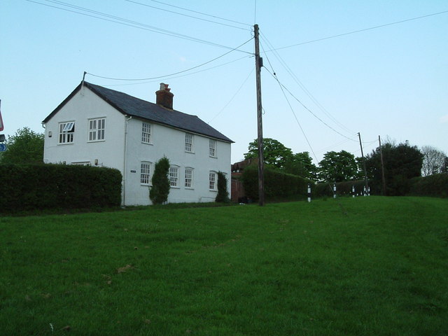
Image: © Rob Farrow Taken: 10 May 2006
This cottage is atop the local hill with good views particularly to the South and South-West. There is a 70m climb from the main A413 up to this point in Kingsash (or King's Ash).
Images are licensed for reuse under creativecommons.org/licenses/by-sa/2.0
Image Location
Latitude
51.742077
Longitude
-0.715284