Weir and spillway, Deene Park
Introduction
The photograph on this page of Weir and spillway, Deene Park by Michael Trolove as part of the Geograph project.
The Geograph project started in 2005 with the aim of publishing, organising and preserving representative images for every square kilometre of Great Britain, Ireland and the Isle of Man.

There are currently over 7.5m images from over 14,400 individuals and you can help contribute to the project by visiting https://www.geograph.org.uk
Weir and spillway, Deene Park
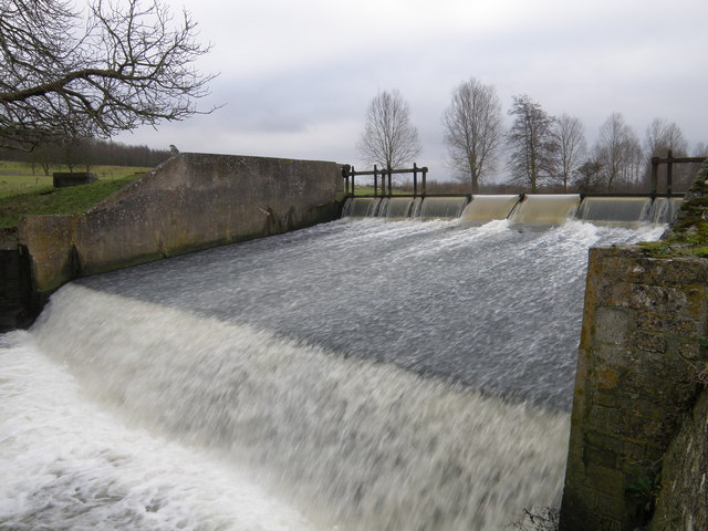
Image: © Michael Trolove Taken: 23 Jan 2010
Water spilling over the weir to reform the Willow Brook as it meanders down towards Bulwick and then Blatherwycke where another lake forms.
Images are licensed for reuse under creativecommons.org/licenses/by-sa/2.0
Image Location
Latitude
52.523471
Longitude
-0.595034