Pedestrian access to Wicksteed Park
Introduction
The photograph on this page of Pedestrian access to Wicksteed Park by Michael Trolove as part of the Geograph project.
The Geograph project started in 2005 with the aim of publishing, organising and preserving representative images for every square kilometre of Great Britain, Ireland and the Isle of Man.

There are currently over 7.5m images from over 14,400 individuals and you can help contribute to the project by visiting https://www.geograph.org.uk
Pedestrian access to Wicksteed Park
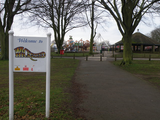
Image: © Michael Trolove Taken: 24 Jan 2010
I would think that most families in a 50 mile radius of Kettering have made at least one visit to this popular play park with its free play park open all year (one of Europe's largest the web page would have you believe http://www.wicksteedpark.co.uk/the-playground.aspx ).
Images are licensed for reuse under creativecommons.org/licenses/by-sa/2.0
Image Location
Latitude
52.386688
Longitude
-0.710321