Kirkintilloch, Oxgang Bridge
Introduction
The photograph on this page of Kirkintilloch, Oxgang Bridge by Robert Murray as part of the Geograph project.
The Geograph project started in 2005 with the aim of publishing, organising and preserving representative images for every square kilometre of Great Britain, Ireland and the Isle of Man.

There are currently over 7.5m images from over 14,400 individuals and you can help contribute to the project by visiting https://www.geograph.org.uk
Kirkintilloch, Oxgang Bridge
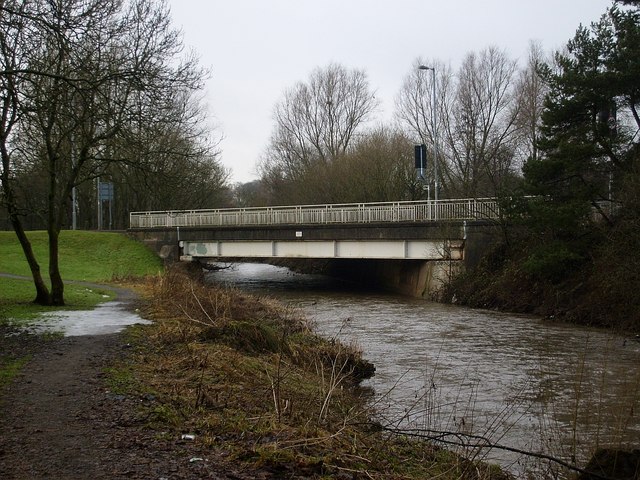
Image: © Robert Murray Taken: 22 Jan 2010
The road is the B8048 and the river is the Luggie Water.
Images are licensed for reuse under creativecommons.org/licenses/by-sa/2.0
Image Location
Latitude
55.935198
Longitude
-4.136088