Graffiti under northern span, St Werburgh's Road railway bridge
Introduction
The photograph on this page of Graffiti under northern span, St Werburgh's Road railway bridge by Phil Champion as part of the Geograph project.
The Geograph project started in 2005 with the aim of publishing, organising and preserving representative images for every square kilometre of Great Britain, Ireland and the Isle of Man.

There are currently over 7.5m images from over 14,400 individuals and you can help contribute to the project by visiting https://www.geograph.org.uk
Graffiti under northern span, St Werburgh's Road railway bridge
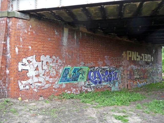
Image: © Phil Champion Taken: 29 Aug 2009
The railway bridge at St Werburgh's road was constructed (or reconstructed) with a future doubling of the line in mind. The northern span was never used. Since the closure of the line in 1988, the Fallowfield Loop cycleway has been constructed through the southern span. This is to be diverted through the unused northern span to accommodate the extension of the Metrolink network and the construction of a tram station.
Images are licensed for reuse under creativecommons.org/licenses/by-sa/2.0
Image Location
Latitude
53.438875
Longitude
-2.267913