Nash play area shelter
Introduction
The photograph on this page of Nash play area shelter by Jaggery as part of the Geograph project.
The Geograph project started in 2005 with the aim of publishing, organising and preserving representative images for every square kilometre of Great Britain, Ireland and the Isle of Man.

There are currently over 7.5m images from over 14,400 individuals and you can help contribute to the project by visiting https://www.geograph.org.uk
Nash play area shelter
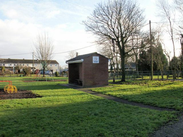
Image: © Jaggery Taken: 23 Jan 2010
A small shelter with a wooden bench is located on the southern edge of the play area adjacent to the village community hall.
Images are licensed for reuse under creativecommons.org/licenses/by-sa/2.0
Image Location
Latitude
51.548349
Longitude
-2.948891