Piling along Metrolink extension route
Introduction
The photograph on this page of Piling along Metrolink extension route by Phil Champion as part of the Geograph project.
The Geograph project started in 2005 with the aim of publishing, organising and preserving representative images for every square kilometre of Great Britain, Ireland and the Isle of Man.

There are currently over 7.5m images from over 14,400 individuals and you can help contribute to the project by visiting https://www.geograph.org.uk
Piling along Metrolink extension route
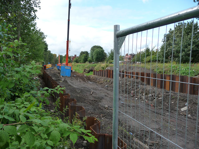
Image: © Phil Champion Taken: 29 Aug 2009
Clearance of the route for the Metrolink extension to St Werburgh's Road was well under way. The tram route utilises the formerly disused Manchester South District Line. This is the section between Wilbraham Road and St Werburgh’s Road.
Images are licensed for reuse under creativecommons.org/licenses/by-sa/2.0
Image Location
Latitude
53.439772
Longitude
-2.268371