Fallowfield Loop Cycleway
Introduction
The photograph on this page of Fallowfield Loop Cycleway by Phil Champion as part of the Geograph project.
The Geograph project started in 2005 with the aim of publishing, organising and preserving representative images for every square kilometre of Great Britain, Ireland and the Isle of Man.

There are currently over 7.5m images from over 14,400 individuals and you can help contribute to the project by visiting https://www.geograph.org.uk
Fallowfield Loop Cycleway
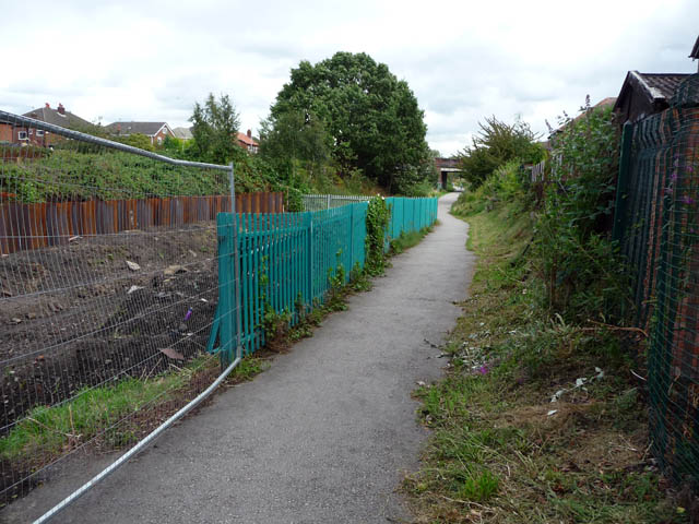
Image: © Phil Champion Taken: 29 Aug 2009
Looking along the line of the disused railway line towards Chorlton Junction from the start of the route near Sidbury Road. The cycleway, developed in the late 1990s, is to be realigned to cross the tracks and run along the north side to accommodate the planned extension to the Metrolink network to St Werburgh's Road. Work had already commenced to clear the line and widen the cutting.
Images are licensed for reuse under creativecommons.org/licenses/by-sa/2.0
Image Location
Latitude
53.43977
Longitude
-2.269424