Path northeast of Marldon
Introduction
The photograph on this page of Path northeast of Marldon by Derek Harper as part of the Geograph project.
The Geograph project started in 2005 with the aim of publishing, organising and preserving representative images for every square kilometre of Great Britain, Ireland and the Isle of Man.

There are currently over 7.5m images from over 14,400 individuals and you can help contribute to the project by visiting https://www.geograph.org.uk
Path northeast of Marldon
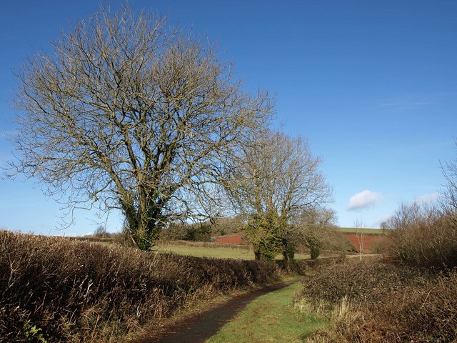
Image: © Derek Harper Taken: 17 Jan 2010
Trees overlook the path that follows the former road north from Marldon, now paralleled by the adjacent Hellevoetsluis Way.
Images are licensed for reuse under creativecommons.org/licenses/by-sa/2.0
Image Location
Latitude
50.461893
Longitude
-3.590288