Plane to train on
Introduction
The photograph on this page of Plane to train on by Michael Dibb as part of the Geograph project.
The Geograph project started in 2005 with the aim of publishing, organising and preserving representative images for every square kilometre of Great Britain, Ireland and the Isle of Man.

There are currently over 7.5m images from over 14,400 individuals and you can help contribute to the project by visiting https://www.geograph.org.uk
Plane to train on
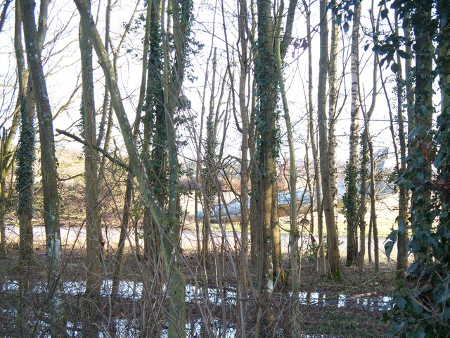
Image: © Michael Dibb Taken: 17 Jan 2010
Discernible through the trees, this plane is part of the training facilities at the Fire Service College based on the former RAF Moreton-in-Marsh.
Images are licensed for reuse under creativecommons.org/licenses/by-sa/2.0
Image Location


Leaflet Map data © OpenStreetMap
Latitude
51.999332
Longitude
-1.681398