Mendip north Forest
Introduction
The photograph on this page of Mendip north Forest by Michael Dennis Stagg as part of the Geograph project.
The Geograph project started in 2005 with the aim of publishing, organising and preserving representative images for every square kilometre of Great Britain, Ireland and the Isle of Man.

There are currently over 7.5m images from over 14,400 individuals and you can help contribute to the project by visiting https://www.geograph.org.uk
Mendip north Forest
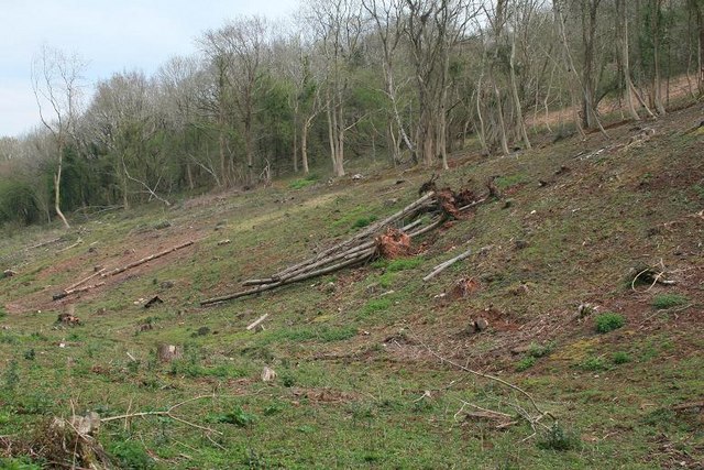
Image: © Michael Dennis Stagg Taken: 16 Apr 2009
As Ecology generally disapproves of 1960s Forestry Commission work, Hydrology, Water Resources and prevention of waste pollution in water catchments perhaps now Eco system should offer answers on how to use land, retain soils, stop floods, provide water, keep the community, utilize timber ? I have been in Hydrology, Forest hydrology, soils design geology for 43 years since UCW student and I would like to spend the next years able to enjoy work to good purpose and some success.
Images are licensed for reuse under creativecommons.org/licenses/by-sa/2.0
Image Location
Latitude
51.325955
Longitude
-2.740639