Levee on the Shawend Burn
Introduction
The photograph on this page of Levee on the Shawend Burn by Robert Murray as part of the Geograph project.
The Geograph project started in 2005 with the aim of publishing, organising and preserving representative images for every square kilometre of Great Britain, Ireland and the Isle of Man.

There are currently over 7.5m images from over 14,400 individuals and you can help contribute to the project by visiting https://www.geograph.org.uk
Levee on the Shawend Burn
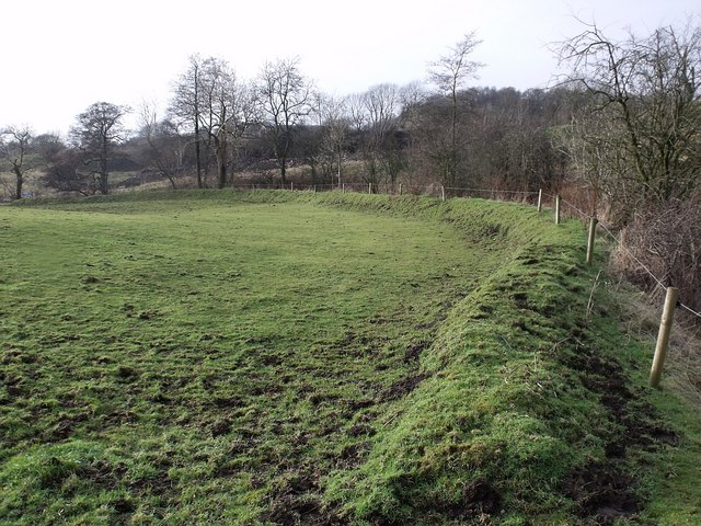
Image: © Robert Murray Taken: 21 Jan 2010
There must be a flooding risk on the haugh from this burn - which becomes a fully fledged river in times of heavy spate.
Images are licensed for reuse under creativecommons.org/licenses/by-sa/2.0
Image Location


Leaflet Map data © OpenStreetMap
Latitude
55.976763
Longitude
-4.026987