Flooded fields near Twyford
Introduction
The photograph on this page of Flooded fields near Twyford by Stephen McKay as part of the Geograph project.
The Geograph project started in 2005 with the aim of publishing, organising and preserving representative images for every square kilometre of Great Britain, Ireland and the Isle of Man.

There are currently over 7.5m images from over 14,400 individuals and you can help contribute to the project by visiting https://www.geograph.org.uk
Flooded fields near Twyford
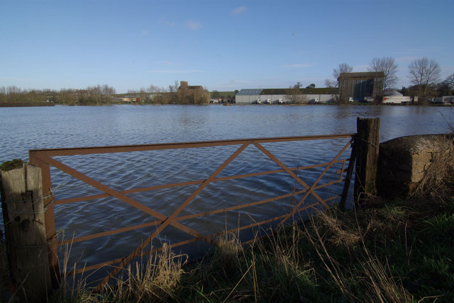
Image: © Stephen McKay Taken: 17 Jan 2010
Melting snow has caused the River Cherwell to flood inundating these fields north of the Adderbury - Kings Sutton road.
Images are licensed for reuse under creativecommons.org/licenses/by-sa/2.0
Image Location
Latitude
52.031814
Longitude
-1.294159