Shawend Burn at Townhead Farm
Introduction
The photograph on this page of Shawend Burn at Townhead Farm by Robert Murray as part of the Geograph project.
The Geograph project started in 2005 with the aim of publishing, organising and preserving representative images for every square kilometre of Great Britain, Ireland and the Isle of Man.

There are currently over 7.5m images from over 14,400 individuals and you can help contribute to the project by visiting https://www.geograph.org.uk
Shawend Burn at Townhead Farm
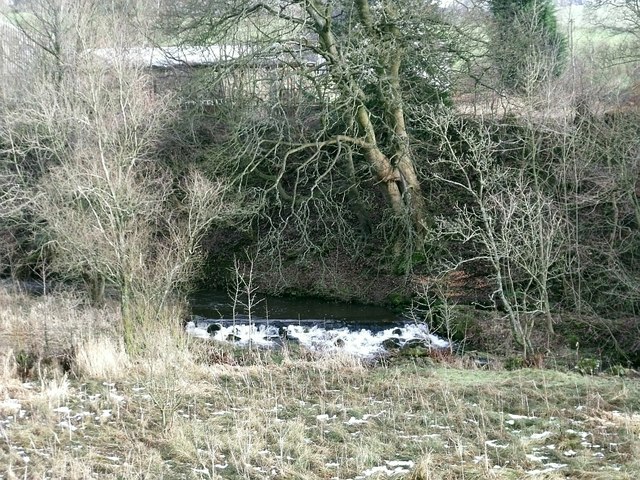
Image: © Robert Murray Taken: 21 Jan 2010
The weir that diverted a channel which split into two lades for Craigmarloch mill downstream.
Images are licensed for reuse under creativecommons.org/licenses/by-sa/2.0
Image Location
Latitude
55.98036
Longitude
-4.021404