Flats above the tail race
Introduction
The photograph on this page of Flats above the tail race by Evelyn Simak as part of the Geograph project.
The Geograph project started in 2005 with the aim of publishing, organising and preserving representative images for every square kilometre of Great Britain, Ireland and the Isle of Man.

There are currently over 7.5m images from over 14,400 individuals and you can help contribute to the project by visiting https://www.geograph.org.uk
Flats above the tail race
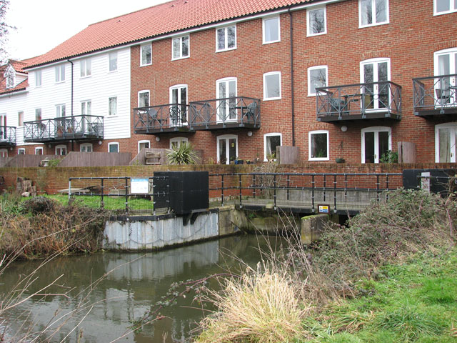
Image: © Evelyn Simak Taken: 21 Jan 2010
The mill at Trowse is mentioned in the Domesday Book but sadly, the original building was demolished. Fortunately, the two tail races as well as the mill pond have survived and the site was redeveloped in 2001, this time for housing. The design was based on the original mill building: http://www.norfolkmills.co.uk/Watermills/trowse.html.
Images are licensed for reuse under creativecommons.org/licenses/by-sa/2.0
Image Location
Latitude
52.612701
Longitude
1.312231