Trevalga
Introduction
The photograph on this page of Trevalga by Jonathan Billinger as part of the Geograph project.
The Geograph project started in 2005 with the aim of publishing, organising and preserving representative images for every square kilometre of Great Britain, Ireland and the Isle of Man.

There are currently over 7.5m images from over 14,400 individuals and you can help contribute to the project by visiting https://www.geograph.org.uk
Trevalga
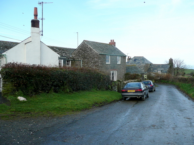
Image: © Jonathan Billinger Taken: 20 Jan 2010
A collection of stone cottages between the B3263 and the coast near Boscastle.
Images are licensed for reuse under creativecommons.org/licenses/by-sa/2.0
Image Location
Latitude
50.678318
Longitude
-4.716841