The Pond
Introduction
The photograph on this page of The Pond by Doug Thompson as part of the Geograph project.
The Geograph project started in 2005 with the aim of publishing, organising and preserving representative images for every square kilometre of Great Britain, Ireland and the Isle of Man.

There are currently over 7.5m images from over 14,400 individuals and you can help contribute to the project by visiting https://www.geograph.org.uk
The Pond
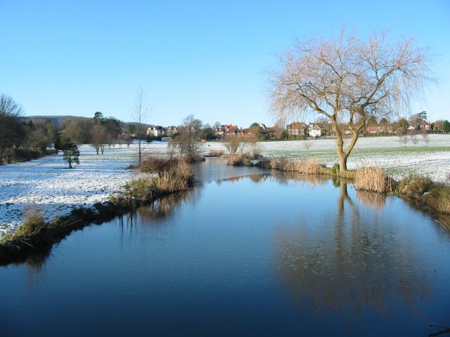
Image: © Doug Thompson Taken: 19 Dec 2009
Actually a wide portion of a slowly moving stream through this lovely piece of open land on the edge of Steyning.
Images are licensed for reuse under creativecommons.org/licenses/by-sa/2.0
Image Location
Latitude
50.88279
Longitude
-0.319689