Church Lane, Panteg
Introduction
The photograph on this page of Church Lane, Panteg by Jaggery as part of the Geograph project.
The Geograph project started in 2005 with the aim of publishing, organising and preserving representative images for every square kilometre of Great Britain, Ireland and the Isle of Man.

There are currently over 7.5m images from over 14,400 individuals and you can help contribute to the project by visiting https://www.geograph.org.uk
Church Lane, Panteg
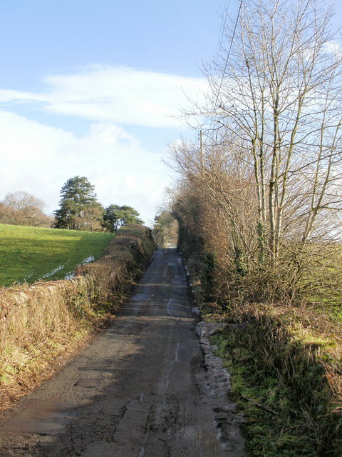
Image: © Jaggery Taken: 17 Jan 2010
Church Lane climbs away from the Church Farm entrance turnoff, towards St Mary's Church. http://www.geograph.org.uk/photo/1667480
Images are licensed for reuse under creativecommons.org/licenses/by-sa/2.0
Image Location
Latitude
51.684589
Longitude
-3.000919