A holy junction, New Inn
Introduction
The photograph on this page of A holy junction, New Inn by Jaggery as part of the Geograph project.
The Geograph project started in 2005 with the aim of publishing, organising and preserving representative images for every square kilometre of Great Britain, Ireland and the Isle of Man.

There are currently over 7.5m images from over 14,400 individuals and you can help contribute to the project by visiting https://www.geograph.org.uk
A holy junction, New Inn
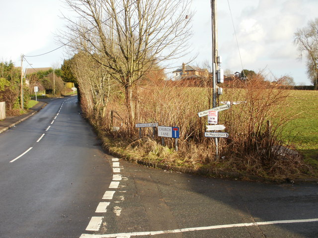
Image: © Jaggery Taken: 17 Jan 2010
The junction of Jerusalem Lane and Church Lane. On the pole, between the signs to St Mary's Church, is a notice stating that services are currently held in the church hall http://www.geograph.org.uk/photo/1667470 on The Highway.
Images are licensed for reuse under creativecommons.org/licenses/by-sa/2.0
Image Location
Latitude
51.685451
Longitude
-3.005277