The Cedars, The Trinity, Wells
Introduction
The photograph on this page of The Cedars, The Trinity, Wells by Philip Halling as part of the Geograph project.
The Geograph project started in 2005 with the aim of publishing, organising and preserving representative images for every square kilometre of Great Britain, Ireland and the Isle of Man.

There are currently over 7.5m images from over 14,400 individuals and you can help contribute to the project by visiting https://www.geograph.org.uk
The Cedars, The Trinity, Wells
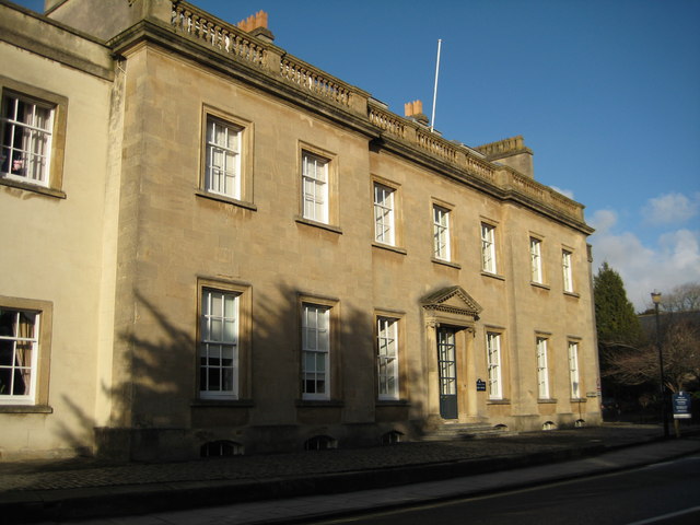
Image: © Philip Halling Taken: 17 Jan 2010
The Cedars, an eighteenth century house, is one of a number of houses on this road which are part of Wells Cathedral School.
Images are licensed for reuse under creativecommons.org/licenses/by-sa/2.0
Image Location
Latitude
51.212512
Longitude
-2.643469