Junction on Adbolton Lane
Introduction
The photograph on this page of Junction on Adbolton Lane by David Lally as part of the Geograph project.
The Geograph project started in 2005 with the aim of publishing, organising and preserving representative images for every square kilometre of Great Britain, Ireland and the Isle of Man.

There are currently over 7.5m images from over 14,400 individuals and you can help contribute to the project by visiting https://www.geograph.org.uk
Junction on Adbolton Lane
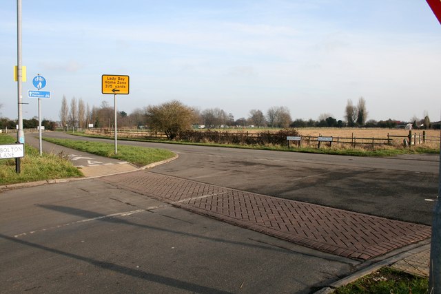
Image: © David Lally Taken: 21 Jan 2010
The lane turns left here to the Holme Pierripont water-sports centre. The road coming in from the right is Regatta Way, built to give access to the centre directly from Radcliffe Road, avoiding the use of Trent Boulevard through Lady Bay.
Images are licensed for reuse under creativecommons.org/licenses/by-sa/2.0
Image Location
Latitude
52.938542
Longitude
-1.106047