Worm Hill Terrace Fatfield
Introduction
The photograph on this page of Worm Hill Terrace Fatfield by Peter Robinson as part of the Geograph project.
The Geograph project started in 2005 with the aim of publishing, organising and preserving representative images for every square kilometre of Great Britain, Ireland and the Isle of Man.

There are currently over 7.5m images from over 14,400 individuals and you can help contribute to the project by visiting https://www.geograph.org.uk
Worm Hill Terrace Fatfield
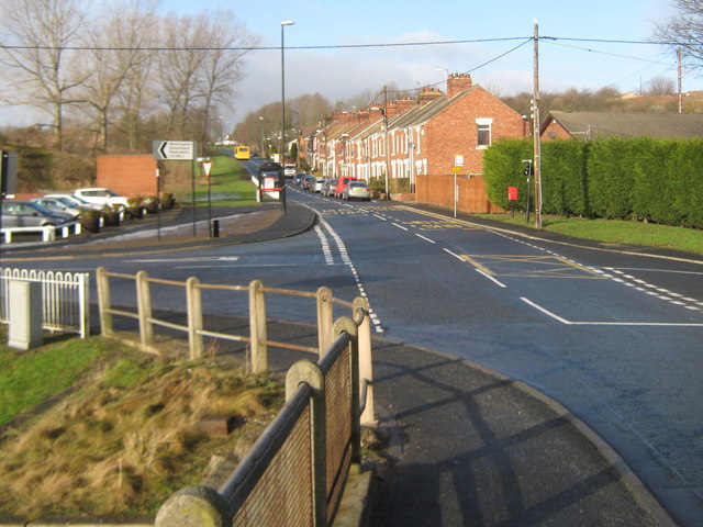
Image: © Peter Robinson Taken: 17 Jan 2010
Seen from the northern side of Fatfield Bridge Sunderland
Images are licensed for reuse under creativecommons.org/licenses/by-sa/2.0
Image Location
Latitude
54.881322
Longitude
-1.516326