Lower High Street, Ashford in 1969
Introduction
The photograph on this page of Lower High Street, Ashford in 1969 by John Baker as part of the Geograph project.
The Geograph project started in 2005 with the aim of publishing, organising and preserving representative images for every square kilometre of Great Britain, Ireland and the Isle of Man.

There are currently over 7.5m images from over 14,400 individuals and you can help contribute to the project by visiting https://www.geograph.org.uk
Lower High Street, Ashford in 1969
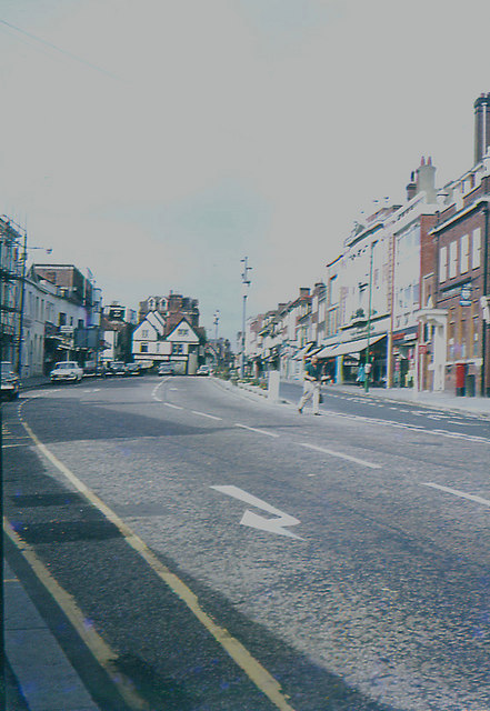
Image: © John Baker Taken: Unknown
The building on the right hand side of the road with sun blinds was the premises of the Co-operative Society.
Images are licensed for reuse under creativecommons.org/licenses/by-sa/2.0
Image Location
Latitude
51.149196
Longitude
0.874508