A428 through Madingley, looking northeast
Introduction
The photograph on this page of A428 through Madingley, looking northeast by Jeff Bronks as part of the Geograph project.
The Geograph project started in 2005 with the aim of publishing, organising and preserving representative images for every square kilometre of Great Britain, Ireland and the Isle of Man.

There are currently over 7.5m images from over 14,400 individuals and you can help contribute to the project by visiting https://www.geograph.org.uk
A428 through Madingley, looking northeast
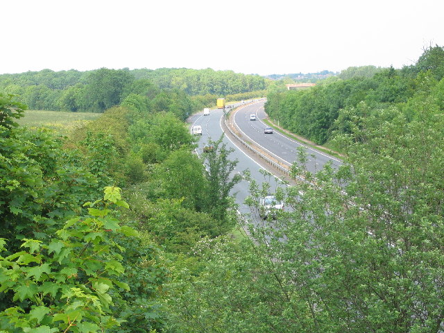
Image: © Jeff Bronks Taken: 9 Jun 2005
The photo was taken from the bridge in the southwest corner of TL4060. The bridge in the distance is just inside the northeast corner of TL4060.
Images are licensed for reuse under creativecommons.org/licenses/by-sa/2.0
Image Location


Leaflet Map data © OpenStreetMap
Latitude
52.221323
Longitude
0.048065