Field Lane
Introduction
The photograph on this page of Field Lane by Jonathan Billinger as part of the Geograph project.
The Geograph project started in 2005 with the aim of publishing, organising and preserving representative images for every square kilometre of Great Britain, Ireland and the Isle of Man.

There are currently over 7.5m images from over 14,400 individuals and you can help contribute to the project by visiting https://www.geograph.org.uk
Field Lane
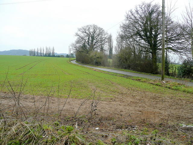
Image: © Jonathan Billinger Taken: 21 Jan 2010
Looking south with part of the Cotswold scarp above Dursley just visible in the distance.
Images are licensed for reuse under creativecommons.org/licenses/by-sa/2.0
Image Location
Latitude
51.700918
Longitude
-2.379932