Burn of Rothes
Introduction
The photograph on this page of Burn of Rothes by Anne Burgess as part of the Geograph project.
The Geograph project started in 2005 with the aim of publishing, organising and preserving representative images for every square kilometre of Great Britain, Ireland and the Isle of Man.

There are currently over 7.5m images from over 14,400 individuals and you can help contribute to the project by visiting https://www.geograph.org.uk
Burn of Rothes
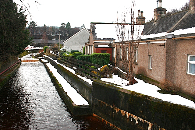
Image: © Anne Burgess Taken: 20 Jan 2010
Both the cottages on the right and the new bungalow beyond are condemned. In order to install flood protection, they are both to be demolished.
Images are licensed for reuse under creativecommons.org/licenses/by-sa/2.0
Image Location
Latitude
57.526527
Longitude
-3.208756