Roundabout on Castle Road
Introduction
The photograph on this page of Roundabout on Castle Road by David Anstiss as part of the Geograph project.
The Geograph project started in 2005 with the aim of publishing, organising and preserving representative images for every square kilometre of Great Britain, Ireland and the Isle of Man.

There are currently over 7.5m images from over 14,400 individuals and you can help contribute to the project by visiting https://www.geograph.org.uk
Roundabout on Castle Road
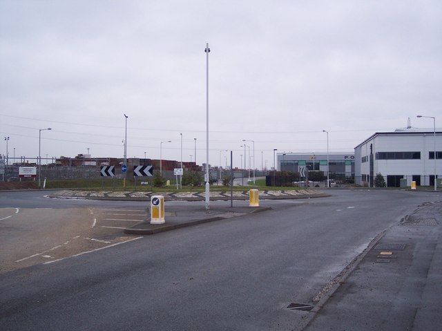
Image: © David Anstiss Taken: 16 Jan 2010
Within the Eurolink Industrial Estate. Castle Road leads from Eurolink Way (in central Sittingbourne) to here, then Swale Way heads right towards the Great Easthall Housing Estate / development. An exit left has been left for the construction of the Sittingbourne Northern Relief Road. In the background on the left is Marshalls (brick and concrete product warehouse).
Images are licensed for reuse under creativecommons.org/licenses/by-sa/2.0
Image Location
Latitude
51.351976
Longitude
0.760358