Approaching Withgill Knoll
Introduction
The photograph on this page of Approaching Withgill Knoll by Chris Heaton as part of the Geograph project.
The Geograph project started in 2005 with the aim of publishing, organising and preserving representative images for every square kilometre of Great Britain, Ireland and the Isle of Man.

There are currently over 7.5m images from over 14,400 individuals and you can help contribute to the project by visiting https://www.geograph.org.uk
Approaching Withgill Knoll
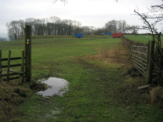
Image: © Chris Heaton Taken: 19 Jan 2010
Footpath follows the fence towards the small patch of woodland on Withgill Knoll.
Images are licensed for reuse under creativecommons.org/licenses/by-sa/2.0
Image Location


Leaflet Map data © OpenStreetMap
Latitude
53.866193
Longitude
-2.443385