Tattershall Drive
Introduction
The photograph on this page of Tattershall Drive by David Lally as part of the Geograph project.
The Geograph project started in 2005 with the aim of publishing, organising and preserving representative images for every square kilometre of Great Britain, Ireland and the Isle of Man.

There are currently over 7.5m images from over 14,400 individuals and you can help contribute to the project by visiting https://www.geograph.org.uk
Tattershall Drive
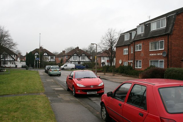
Image: © David Lally Taken: 19 Jan 2010
Tattershall Drive is an "L" shaped road between Queens Road and Hassocks Lane. This looks along the shorter section toward Queens Road.
Images are licensed for reuse under creativecommons.org/licenses/by-sa/2.0
Image Location
Latitude
52.930705
Longitude
-1.202418