New houses at Inverkip
Introduction
The photograph on this page of New houses at Inverkip by Thomas Nugent as part of the Geograph project.
The Geograph project started in 2005 with the aim of publishing, organising and preserving representative images for every square kilometre of Great Britain, Ireland and the Isle of Man.

There are currently over 7.5m images from over 14,400 individuals and you can help contribute to the project by visiting https://www.geograph.org.uk
New houses at Inverkip
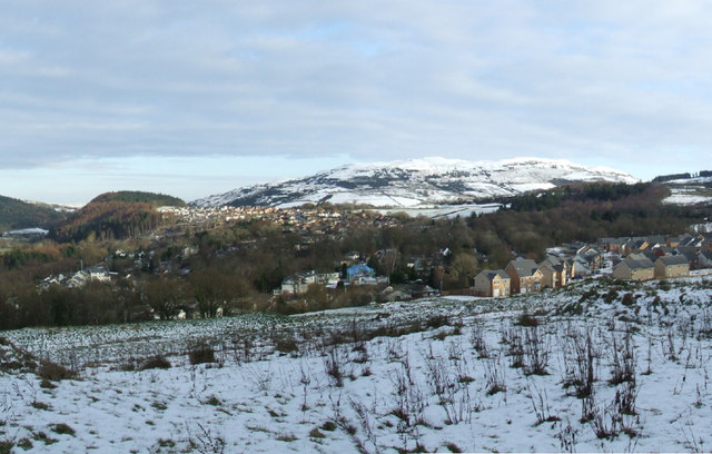
Image: © Thomas Nugent Taken: 3 Jan 2010
In the controvesial former green belt fields to the south of Inverkip station. See the same view in early 2007 here Image
Images are licensed for reuse under creativecommons.org/licenses/by-sa/2.0
Image Location


Leaflet Map data © OpenStreetMap
Latitude
55.905635
Longitude
-4.869511