View SE over open field
Introduction
The photograph on this page of View SE over open field by Dave Spicer as part of the Geograph project.
The Geograph project started in 2005 with the aim of publishing, organising and preserving representative images for every square kilometre of Great Britain, Ireland and the Isle of Man.

There are currently over 7.5m images from over 14,400 individuals and you can help contribute to the project by visiting https://www.geograph.org.uk
View SE over open field
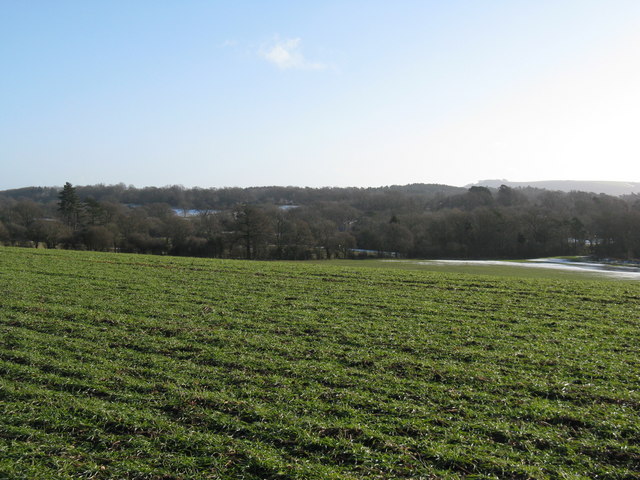
Image: © Dave Spicer Taken: 17 Jan 2010
Woods at Heath Common are straight ahead and Chanctonbury Ring on the horizon
Images are licensed for reuse under creativecommons.org/licenses/by-sa/2.0
Image Location
Latitude
50.933572
Longitude
-0.440678