Former Methodist Church, Lane End
Introduction
The photograph on this page of Former Methodist Church, Lane End by David Hillas as part of the Geograph project.
The Geograph project started in 2005 with the aim of publishing, organising and preserving representative images for every square kilometre of Great Britain, Ireland and the Isle of Man.

There are currently over 7.5m images from over 14,400 individuals and you can help contribute to the project by visiting https://www.geograph.org.uk
Former Methodist Church, Lane End
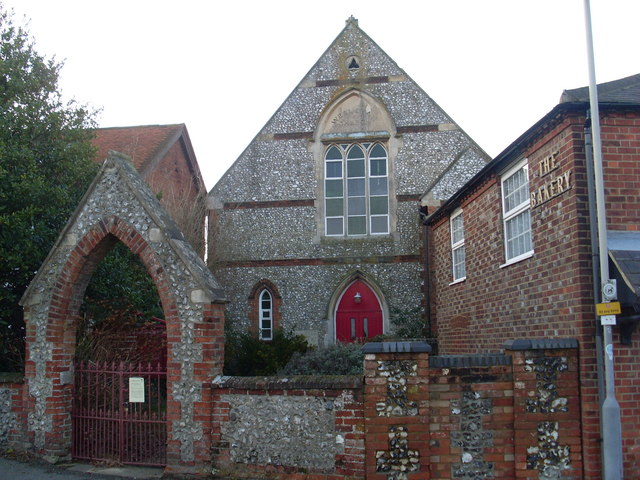
Image: © David Hillas Taken: 1 Jan 2010
Opened in 1866, this church is situated in The Row, in the centre of the village. The final service was held there on Sunday 30th March, 2008. The Bakery cottage can be seen on the right. The postcode for the church is HP14 3JR.
Images are licensed for reuse under creativecommons.org/licenses/by-sa/2.0
Image Location
Latitude
51.619147
Longitude
-0.834604