Road junction at Hesleden Road
Introduction
The photograph on this page of Road junction at Hesleden Road by Philip Barker as part of the Geograph project.
The Geograph project started in 2005 with the aim of publishing, organising and preserving representative images for every square kilometre of Great Britain, Ireland and the Isle of Man.

There are currently over 7.5m images from over 14,400 individuals and you can help contribute to the project by visiting https://www.geograph.org.uk
Road junction at Hesleden Road
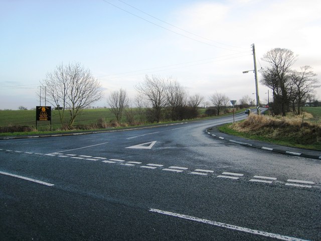
Image: © Philip Barker Taken: 17 Jan 2010
This photograph shows a view of the minor road (straight ahead) that leads into the village of Hesleden. The photograph was taken, looking in a south-easterly direction, at the junction of this road with the B1281 that runs between Castle Eden (to the right) and Blackhall Colliery (to the left).
Images are licensed for reuse under creativecommons.org/licenses/by-sa/2.0
Image Location
Latitude
54.73971
Longitude
-1.314387