A158, Horncastle
Introduction
The photograph on this page of A158, Horncastle by Dave Hitchborne as part of the Geograph project.
The Geograph project started in 2005 with the aim of publishing, organising and preserving representative images for every square kilometre of Great Britain, Ireland and the Isle of Man.

There are currently over 7.5m images from over 14,400 individuals and you can help contribute to the project by visiting https://www.geograph.org.uk
A158, Horncastle
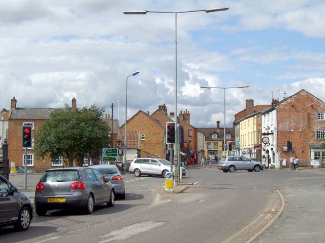
Image: © Dave Hitchborne Taken: 18 Jul 2009
Looking from South Street to the busy Lincoln to Skegness road, which runs from left to right. Three of Horncastle's ten pubs, that I know of, are in view. The white fronted building is The Ship with the Kings Head almost opposite. In the background, facing south, is The Red Lion.
Images are licensed for reuse under creativecommons.org/licenses/by-sa/2.0
Image Location
Latitude
53.207729
Longitude
-0.114696